
Latency has a numerical limit
3GPP allows 140 ms for video in BVLOS control. The AKIZU LET-1 target is 50 ms.
Source: 3GPP TS 22.125
Solutions
Beyond line of sight the operator does not see where the drone is, but where it was. AKIZU makes that difference visible and records it. Twelve areas, including fleets that hold intersections, sectors and perimeters.
12 areas
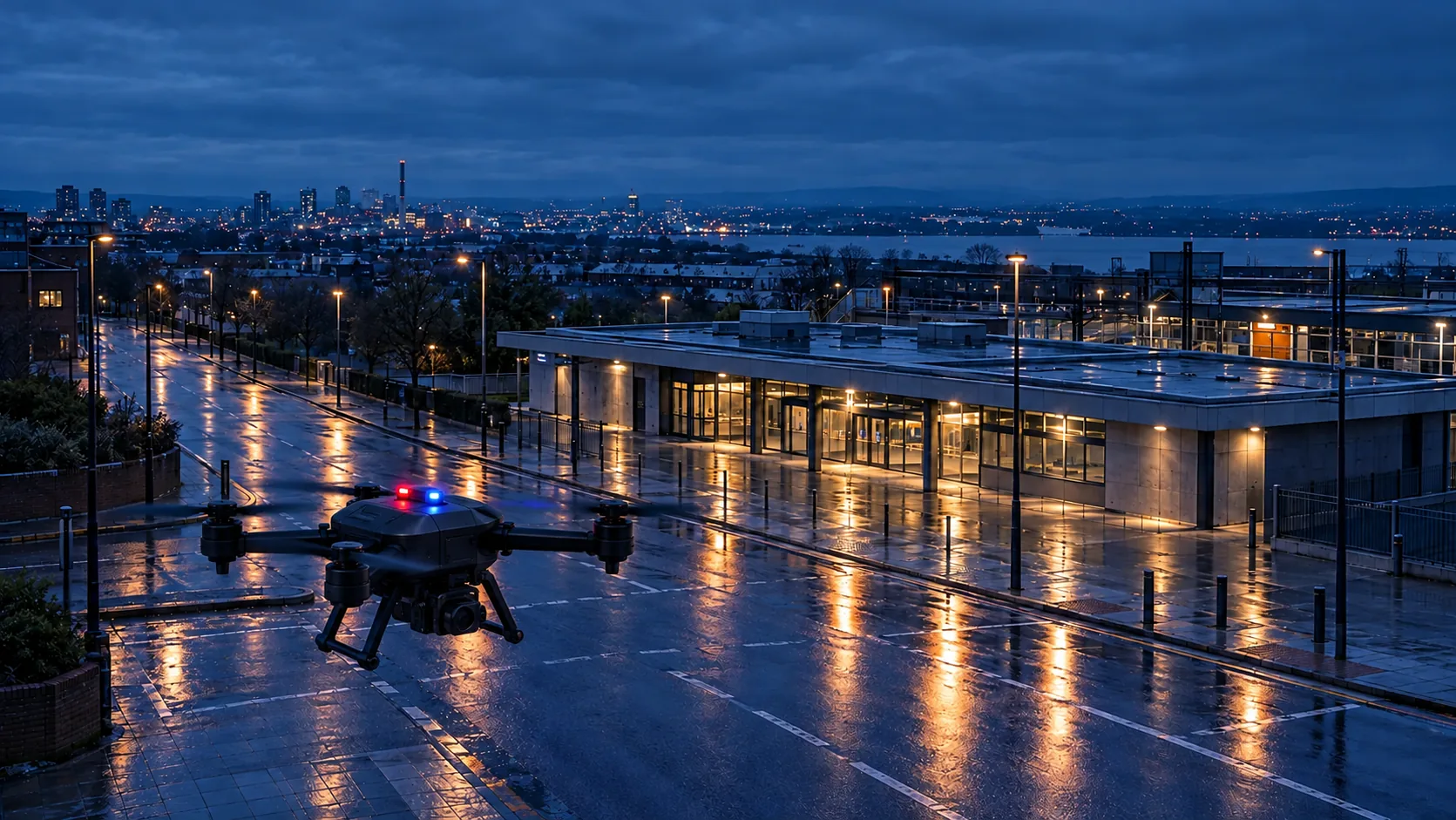 01Public safetyTwo networks at once · Evidence after the flight · Control from a centre
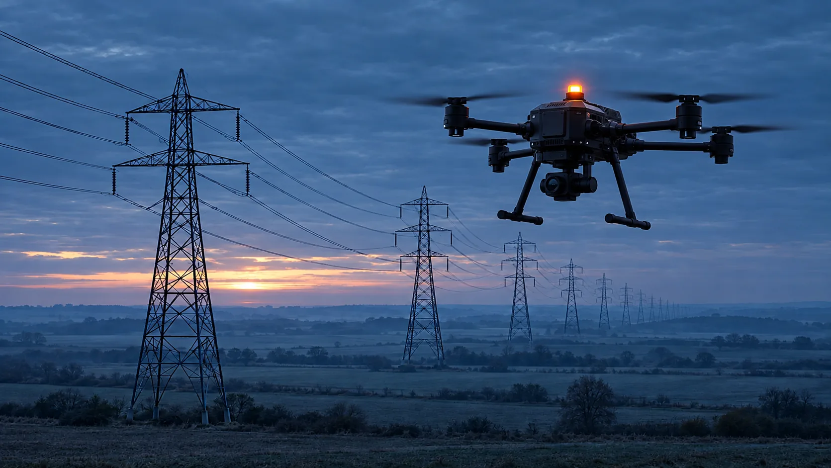 02Infrastructure inspectionTwo networks at once · Evidence after the flight · Control from a centre
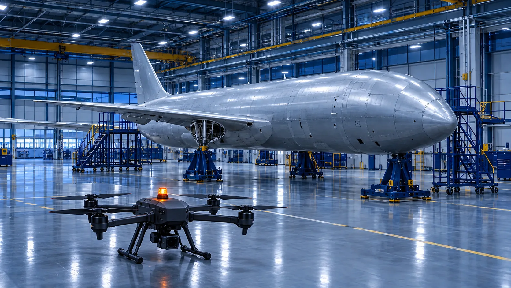 03Drone manufacturersIntegration into your own drone · Evidence after the flight
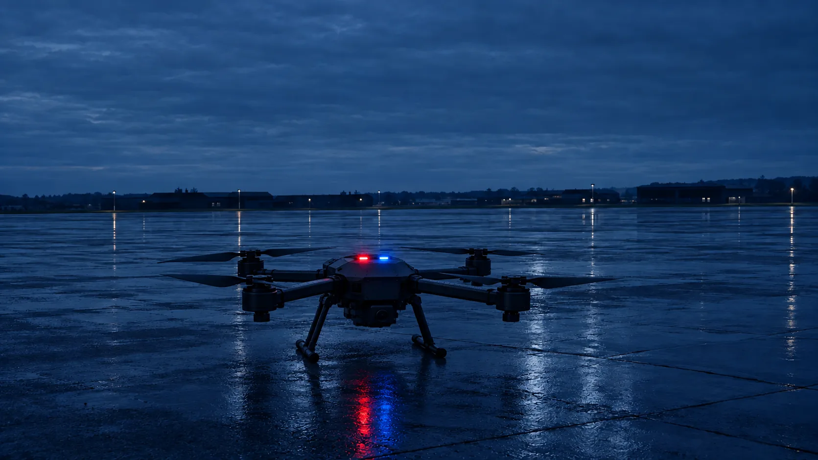 04Defence and resilienceTwo networks at once · Resilience in outages · Integration into your own drone
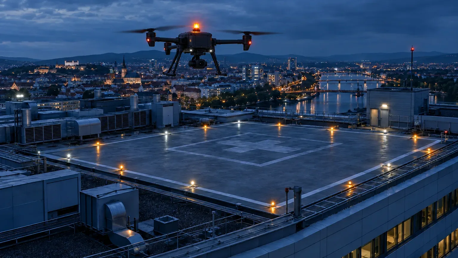 05Logistics and medical transportFleet from one centre · Control from a centre · Two networks at once
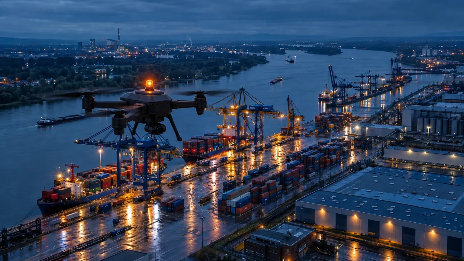 06Industrial sites and portsFleet from one centre · Control from a centre · Evidence after the flight
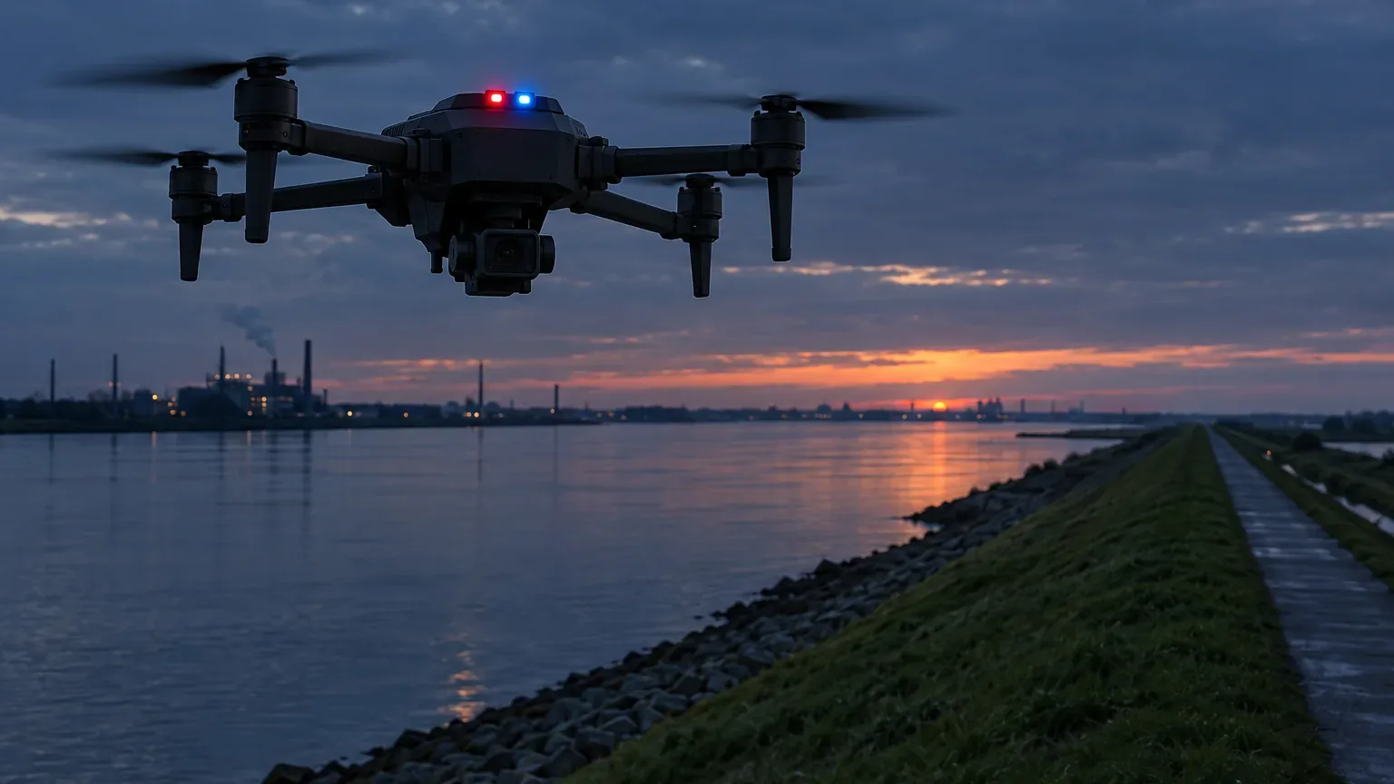 07Crisis management and civil protectionFleet from one centre · Two networks at once · Resilience in outages
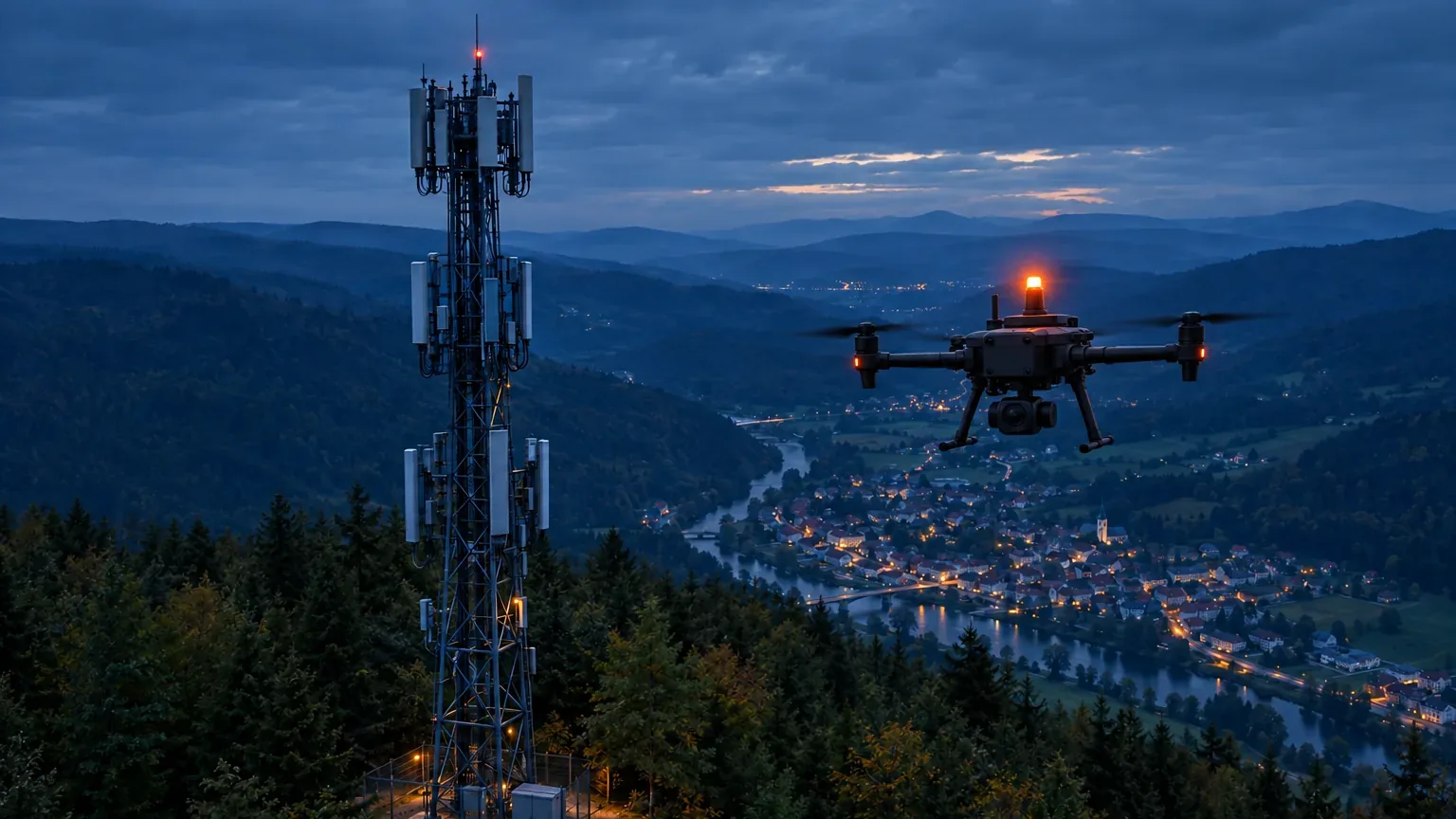 08Mobile operatorsTwo networks at once · Evidence after the flight · Integration into your own drone
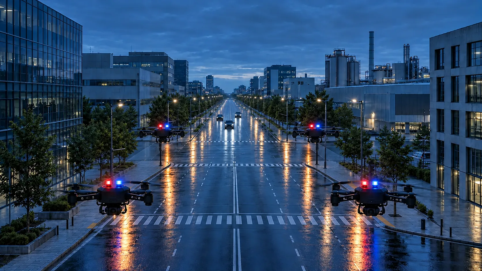 09Corridors and convoysFleet from one centre · Two networks at once · Control from a centre
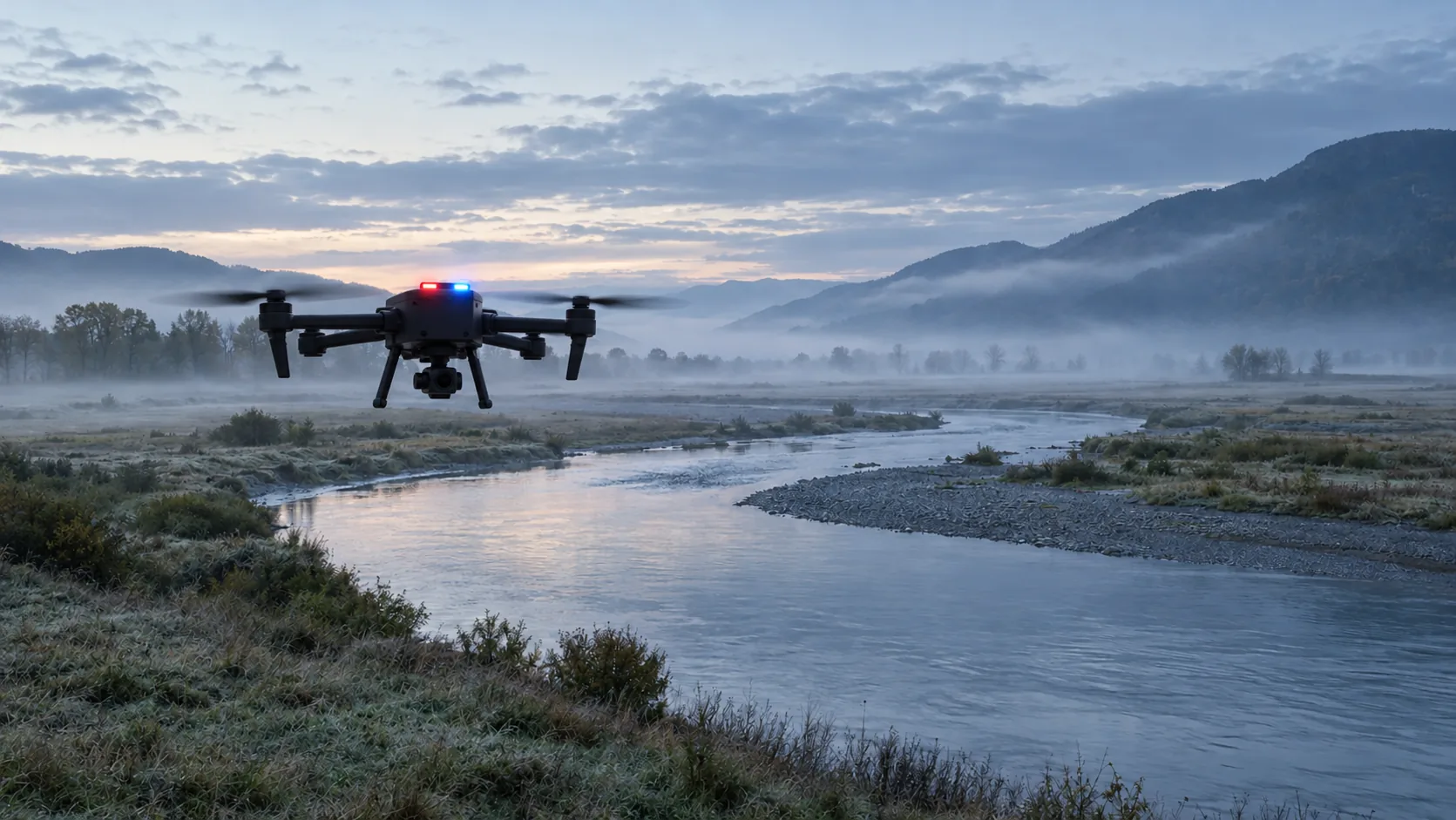 10Search and rescueFleet from one centre · Resilience in outages · Control from a centre
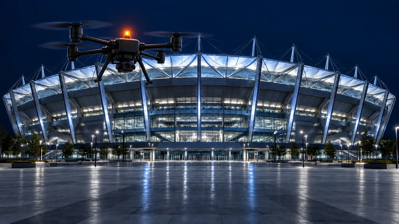 11Public eventsFleet from one centre · Two networks at once · Evidence after the flight
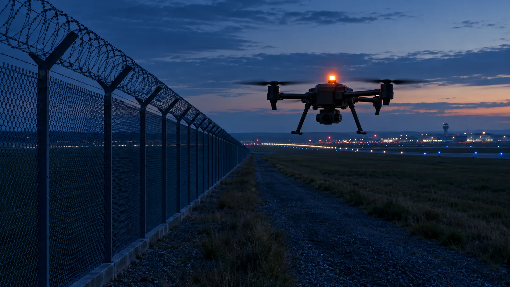 12Perimeters and airportsFleet from one centre · Control from a centre · Evidence after the flight
Recommended set. Each pilot is configured for the operation.
Common ground
Areas differ in speed, network and who watches the image. The basis is the same everywhere: the image must not pretend to be current.
The screen shows how many milliseconds have passed since the frame was exposed. Not an estimate, a number from the drone clock.
Valid, Reduced freshness, Unavailable. When the image stops being valid, a neutral screen with the reason replaces it. Switch measured internally within 2.72 ms.
Image age, states, network switches and commands in one record that can be verified.
Brain Duo sends every frame through two operators. The copy that arrives first and is valid counts.
Areas of use
Two networks at once · Evidence after the flight · Control from a centre
SituationDrone-as-first-responder (DFR) units take off towards an incident before a patrol arrives. The dispatcher decides from the image and needs to know they see what is happening right now.
The drone takes off from the station roof, flies 3 km to the incident and the dispatcher sees the image age in the corner of the panel. If one network drops, the image continues over the other.
Two networks at once · Evidence after the flight · Control from a centre
SituationFlights along power lines, pipelines and railways beyond visual line of sight, over an ordinary mobile network. Coverage at flight altitude changes and the image must be true even at the cell edge.
The operator flies 20 km of line. After the flight Platform shows the sections with reduced image freshness and prepares a package for audit.
Integration into your own drone · Evidence after the flight
SituationThe manufacturer has its own airframe and flight software, but building an image chain with proven age would take years.
The manufacturer mounts Brain on its drone, AKIZU Verify measures image age before and after integration, and the result goes into the technical file.
Two networks at once · Resilience in outages · Integration into your own drone
SituationJamming, congested networks and the need for a European supply chain. Remote decisions must rest on an image with a known age.
A unit trains remote control and after the exercise evaluates how many commands were based on an old image.
Fleet from one centre · Control from a centre · Two networks at once
SituationCarrying samples, medicines and spare parts between buildings and towns. One pilot supervises several flights from an operations centre, often tens of kilometres from the drone.
A drone carries samples between two hospitals. The pilot in the centre sees the image age and with reduced freshness the drone slows before landing.
Fleet from one centre · Control from a centre · Evidence after the flight
SituationPatrols and checks on sites that are large, empty at night and full of metal. The image goes to a remote monitoring centre, which decides whether to intervene.
On a warehouse alarm the drone takes off from its station. The operator in the centre sees the image age and after the response the flight record is available.
Fleet from one centre · Two networks at once · Resilience in outages
SituationFloods, fires and storms. Networks are congested or damaged and the crisis staff decides on the image from places nobody can reach.
During a flood the drone maps the dike. When one operator fails, the image continues over the other and the staff sees it is still valid.
More about this solution: Crisis management and civil protection →
Two networks at once · Evidence after the flight · Integration into your own drone
SituationOperators want to sell connectivity for drones. They need to know how their network behaves at flight altitude and how to show it to customers.
The operator flies a route with Brain Duo, Platform shows image age and signal per segment and the result supports an aerial SIM profile.
Fleet from one centre · Two networks at once · Control from a centre
SituationA police corridor, a convoy or a temporary closure. Several drones hold the entries to intersections and an operator in the command vehicle or the centre decides whether an entry is clear.
Four drones hold the entries ahead of a convoy. When one loses its image, Direct shows a neutral screen there and command knows that entry is not confirmed.
Fleet from one centre · Resilience in outages · Control from a centre
SituationSeveral drones search sectors and one coordinator in the centre assembles the picture. An empty sector on an old frame is not proof that nobody is there.
The coordinator marks a sector searched only when the image is Valid. A sector with a frozen frame stays open.
Fleet from one centre · Two networks at once · Evidence after the flight
SituationA concert, a marathon or a stadium. Drones hold perimeter sectors and the network is congested by visitors' phones. The centre decides on an image that must say how old it is.
On an alarm in sector C the operator sees the image age. If the image is not valid, the sector is not treated as checked and a patrol is sent.
Fleet from one centre · Control from a centre · Evidence after the flight
SituationA long fence, an airport or a site one patrol cannot cover. Drones sit on stations along the perimeter and the nearest one flies on an alarm. The operator must know they see now.
A fence sensor launches the drone from station 3. While the image is Valid, the operator decides on the response. When it stops being valid, the panel says so.
Interactive calculation · illustrative
The same image age weighs differently when watching a site and when flying past it. Move the image age and see how many metres further the drone is than the image shows.
| Area | Fastest manoeuvre | Speed | Drone is further by |
|---|---|---|---|
| Public safetyFollowing a vehicle · 25 m/s | Following a vehicle | 25 m/s | 2.19 m |
| Infrastructure inspectionTransit between segments · 15 m/s | Transit between segments | 15 m/s | 1.31 m |
| Drone manufacturersFast transit · 20 m/s | Fast transit | 20 m/s | 1.75 m |
| Defence and resilienceFast relocation · 28 m/s | Fast relocation | 28 m/s | 2.45 m |
| Logistics and medical transportReturn to base · 20 m/s | Return to base | 20 m/s | 1.75 m |
| Industrial sites and portsAlarm check · 14 m/s | Alarm check | 14 m/s | 1.22 m |
| Crisis management and civil protectionMoving between sites · 20 m/s | Moving between sites | 20 m/s | 1.75 m |
| Mobile operatorsCorridor transit · 18 m/s | Corridor transit | 18 m/s | 1.57 m |
| Corridors and convoysMove to the next intersection · 14 m/s | Move to the next intersection | 14 m/s | 1.22 m |
| Search and rescueMove between sectors · 16 m/s | Move between sectors | 16 m/s | 1.4 m |
| Public eventsTransit to an alarm · 15 m/s | Transit to an alarm | 15 m/s | 1.31 m |
| Perimeters and airportsFlight to a sensor · 16 m/s | Flight to a sensor | 16 m/s | 1.4 m |
Speeds are examples of typical manoeuvres, not data from specific operators. 87.4 ms is p99 measured internally over WiFi with a phone as transmitter, not on a drone. 50 ms is the LET-1 target, 140 ms the limit from 3GPP TS 22.125.
Why now
3GPP allows 140 ms for video in BVLOS control. The AKIZU LET-1 target is 50 ms.
Source: 3GPP TS 22.125
EASA introduced SORA 2.5 in September 2025 and several states no longer accept the older version. Operators need evidence.
Deutsche Telekom and Nokia demonstrated a drone whose network priority was temporarily raised at flight altitude.
Source: Nokia
In February 2026 the EU published an action plan on drone and counter-drone security.
Source: European Commission
How we work together
A joint flight on your route with the AKIZU system and an image-age evaluation.
About the pilotWe measure how old the image on your drone is today and give you a report.
Write to usFor manufacturers: Brain and VERA on your drone, measured before and after.
Write to usExample deployments are illustrative. AKIZU is in development and does not replace a BVLOS authorisation.
Path to deployment
Dates are a plan. Each step starts only after the previous development gate is met.
Limits
We would rather say it up front.
AKIZU does not fly the drone. It shows the pilot which image to trust and when not to.
AKIZU does not replace a BVLOS authorisation or a SORA assessment. It can supply evidence for them.
The core does not fill in or predict anything. Predictive AI is only a separate study.
The goal is Brain as a standalone unit for drones from other makers. The first integration is planned on the VOXL 2 platform in Q1 2027. For another drone we first check the camera and power interfaces.
No. AKIZU Drone is a reference aircraft. Brain, SIM, Platform and Direct are designed to work on their own as well.
Image age p99, time in the Valid state, network switches and an evidence package for every flight. We agree targets up front; the pilot either confirms them or not.
No. AKIZU is in development. The only results measured internally so far come from the prototype over WiFi with a phone as transmitter.
Explore
Twelve solution areas and the sections that belong with them. The case studies are illustrations, not completed deployments.
Book a demo
We will show the system live or measure the image age on your drone.